I took a drive about a month ago to check the Norrish gauge for the weekend, as well as to see if the road was repaired and open from a recent slide that occurred around the 3 km mark. Well sure enough it was, then I realized I'd never driven beyond the classic lower run put-in because of stories of gates and an 'Upper run' that until recently I hadn't really concretely pursued getting on. To my surprise there were no closed gates and the entirety of the Norrish watershed opened up to me, like some wonderful early Christmas present of exploratory possibilities!
To give some bearing, Norrish Creek is located just East of Mission about 10 minutes drive along the 7, then Hawkins Pickle road will take you to the classic lower takeout where a visual gauge is located on the river left side, downstream of the newly repaired and opened road bridge. The watershed is supposed to be open to be enjoyed as a public watershed for the people of the area, and the drinking water for Mission/Abbotsford is also extracted from Norrish Creek with a small dam. If you take Hawkins Pickle to Bell Road you quickly run into Norrish Creek West FSR on river right, which is the road used to access the Creek (the East side FSR is supposedly now open as well). There is an online gauge for Norrish, but it hasn't worked in the last year. The Middle Fork Nooksack Gauge presents a decent correlation a majority of the time.
At about the 5.5 km mark is the put-in for the classic lower(IV/IV+) run (
here!). At the 7 km mark Rose Creek comes in on river right, this would be my favoured takeout for the Upper run featured in 'Whitewater of Southwest BC' (or alternatively the bridge a km upstream as they guidebook indicates, but Rose Creek takeout features easier river access and a couple more decent rapids). Rose Creek is runnable at least in the lower reaches and is on the agenda for further exploration, though the FSR's up both sides are currently deactivated. Between the upper takeout and lower put-in lies middle Norrish(V), which is the most difficult stretch of the river and doesn't regularly get run, it has always been referred to as 'upper Norrish' as compared to the lower classic run because the 'upper' featured in the guidebook was, at least for some time, inaccessible, so I'm going to call it the middle now that the true upper is accessible. At the 8 km mark, just after a bridge over the Creek, is a spur road that leads to the dam. At the 16 km mark is the put-in for the Upper(III-?) run. It should be noted Rose Creek can double the volume of Norrish for gauging reasons.
That same weekend about a month ago, with the gauge reading 3.5, Alicia Lycan and I headed up to check things out, I originally planned to run the middle that day with Will Harris but he had his gear stolen from his car unfortunately. I ended up running the lower stretch of Rose Creek, a fun boulder garden and straight shot slide series/falls with very low volume, then we ran the stretch from the 8 km bridge to Rose Creek just to get in the water a bit more and it had a few fun little class III rapids, it felt medium low at that level.
 |
| Rose creek at a low level, fine for the rapid pictured though. |
 |
| Dropping Rose Garden on Rose Creek. Photo by Alicia Lycan |
Excited by the prospect of exploring Upper Norrish, a class III- exploratory according to the guidebook, had me thrilled. It's always fun doing a class III exploratory, you never know what you'll get, especially with wood potentially in play. The run hadn't been accessible or run for at least 7 years that I was aware of. It would also be awesome to open up a new possibility for an intermediate run and would mean Norrish could then be a destination for mixed groups of paddlers instead of just class IV and up capable.
We went there a few weeks ago with a rain event intending to hit it up, but it was in flood, at 10...the very top of the gauge! We took a look and the run was pretty crazy high. We decided not to put on. For reference the usual levels of the classic run are EFL=2.7, low=3, medium=3.5, high=4.5 and up. It could get run much higher and I believe has been, the real difficulty with that would be the must run and the last pinch canyon with that log in it.
.JPG) |
| Downstream of the 8 km bridge at 3.5, calm clear pools |
 |
| Upstream 8 km bridge at 10 |
.JPG) |
| Upstream 8 km bridge at 3.5, a bit bony. 5 was pretty ideal looking |
 |
| Downstream 16 km bridge at 10 |
Finally this weekend with it warming and not raining too much we headed out again to find the gauge reading 5, so we headed to the put-in. It was a mixed group of myself, Tegan Owens, Tudor Davies, Ben Holzman, and Juan Acero. Our first surprise was a bunch of new medium sized rocks on the road up as ice had formed on the cliff sides and broken off this rock with the melting...low and behold we hit our takeout and there was a busted oil pan! We decided to go kayaking and deal with it afterwards...bad omen?
 |
| At the takeout...the red car had lost all it's oil...ground clearance matters! Norrish FSR is normally good, but there were lots of new boulders from the melt cycle this day |
 |
| A higher water view of Rose Creek, it was dumping 25-40% of the water into Norrish at this point...if only we had more time.. |
 |
| Our view at the 16 km put-in bridge with the level being 5. We put in about 11 or 1130 I think. |
We got to the put-in and it was raining, the level looked good..the second bad indicator was there was ice in the eddies...this is the first time I'd actually seen this! We started making our way down. The first couple km of the run were chalk full of wood, we'd average 30-60 m of paddling between portages...lots of portages. Luckily the portaging and getting around in the Norrish drainage seems to be fairly easy for Southwest BC and this was no different. About a km in West Norrish tribbed in on the right which doubled the volume but the portaging would continue for at least another km. This is truly unfortunate as the top part of this run without the wood would be a great class III continuous boulder garden. As it was with the wood and small eddies it was dangerous for any class of boater. It felt like doing lower Frost Creek woodwise but with the volume of Yola Creek. All this portaging was eating up our daylight fast.
 |
| Ice + Wood = Walking. |
 |
| Typical first couple km of wood robbing us of daylight |
 |
| We were often presented with this. 50 m clean to a bend with small eddies, guaranteed there's wood right around the corner! |
 |
| Our first long clean stretch, yay! |
 |
| Tegan on one of the better rapids in the first few km, a strainer can be seen upstream. |
 |
| The gravel braided section was long and windy being so open, but it was nice to go a couple km without portaging! The weather started to get cold... |
Finally the creek braided out into gravel bars similar to Slesse Creek and the logjams ended. For the next 4 or so km we proceeded through these wide open braided channels, luckily the level provided a decent amount of water so barely any boulder scraping was involved. The creek then started to narrow and went through some very high quality, juicy class III boulder gardens then came around a bend and presented a beautiful canyon entrance. This was an extremely bittersweet moment, as suddenly a portion of the creek we never considered revisiting suddenly presented incredible opportunity, but at the same time it was 3 o'clock and we had maybe an hour of light left and at least 2 km to the dam, our earliest easy takeout. Considering everything, mainly the wood situation we'd encountered to this point and the walled in nature of what we could see of the canyon beyond the beauty class III+ entrance rapid, we decided to walk out, which actually meant walking about 200 m upstream to ferry across first.
 |
| Looking at the canyon, this drop and what we could see looked great. Maybe we should have started that hour earlier? |
 |
| Juan weighing our options. |
 |
| Looking at the canyon entrance from the walk upstream...it was almost dark by the time we started hiking out. |
We were presented with a pleasant 500 m walk up a hill before encountering an overgrown deactivated logging spur we followed about another km to the main road between the 9 and 10 km markers. By the time we collected the vehicles and towed the busted oil can car down and got the tow truck there it was about 10 PM by the time the last of us were headed home.
All in all it was a fun day and a nice workout I figure, though I'll probably never go in for that first bit again, I will be back in here and walk down to the gravel bar section or the canyon entrance to finish up that last bit...maybe next time with a little more light. 5 looked like a decent level, but it really gets narrow at the canyon, so it is hard to tell. Until next time...
 |
| Canadian Pacific Holiday Train! |
 |
| The 'ol Fit made 'er to the Dealership! |
Some pictures from Tudor Davies:
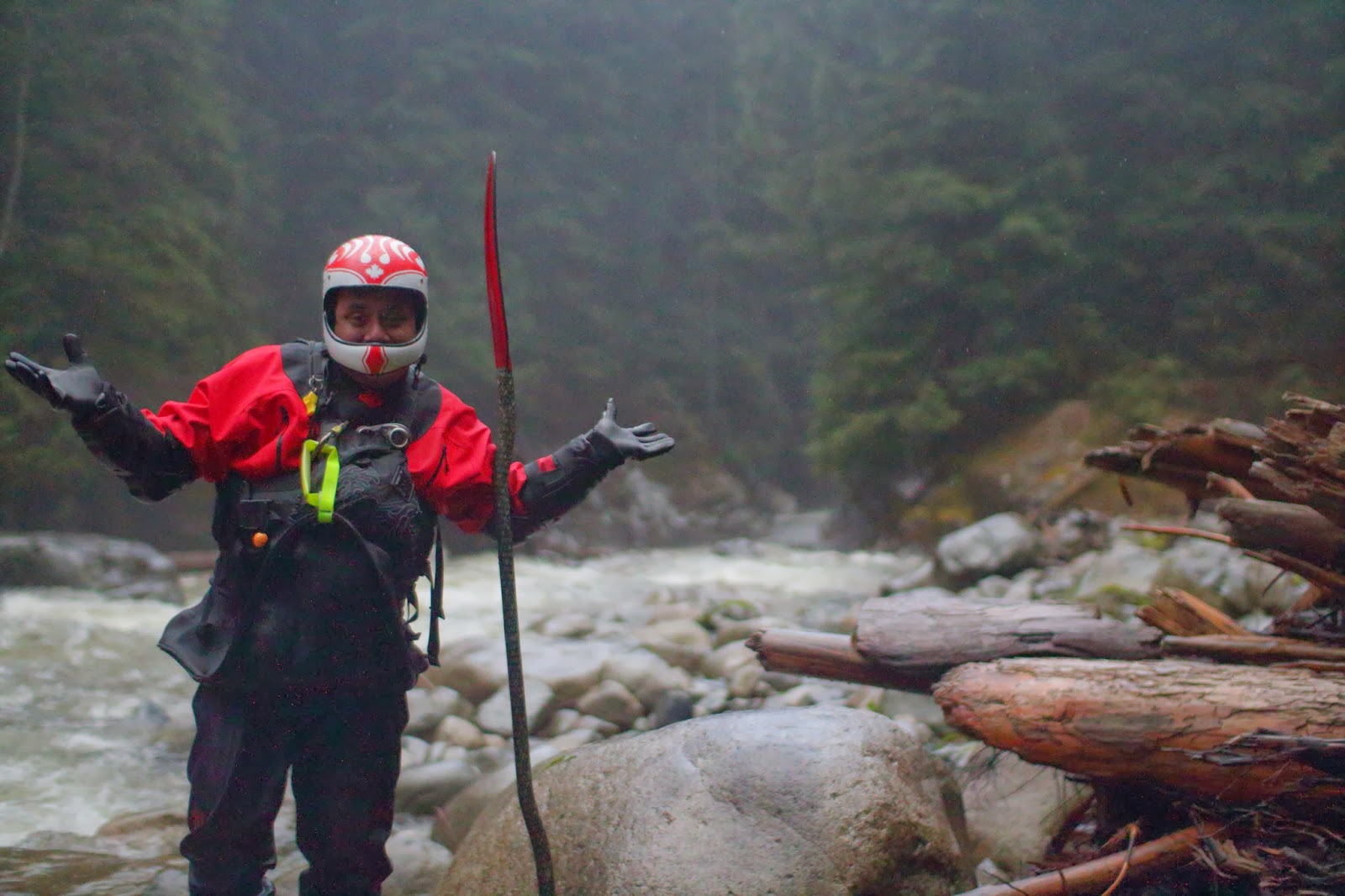
 |
| There I am, cold, camera in hand, looks like I'm doing a jig to keep warm |
 |
| The day is dragging....hahahaha |
 |
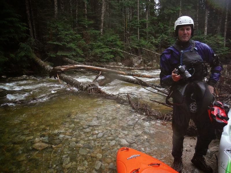
| Whoa! Another portage!? |
 |
| We had an inordinate amount of fun, it helps to be prepared for what you'll have to face when it ends up being what you likely think it will be... |
 |
| Finally found a spur...hard to tell but it is very dark now |


.JPG)

.JPG)